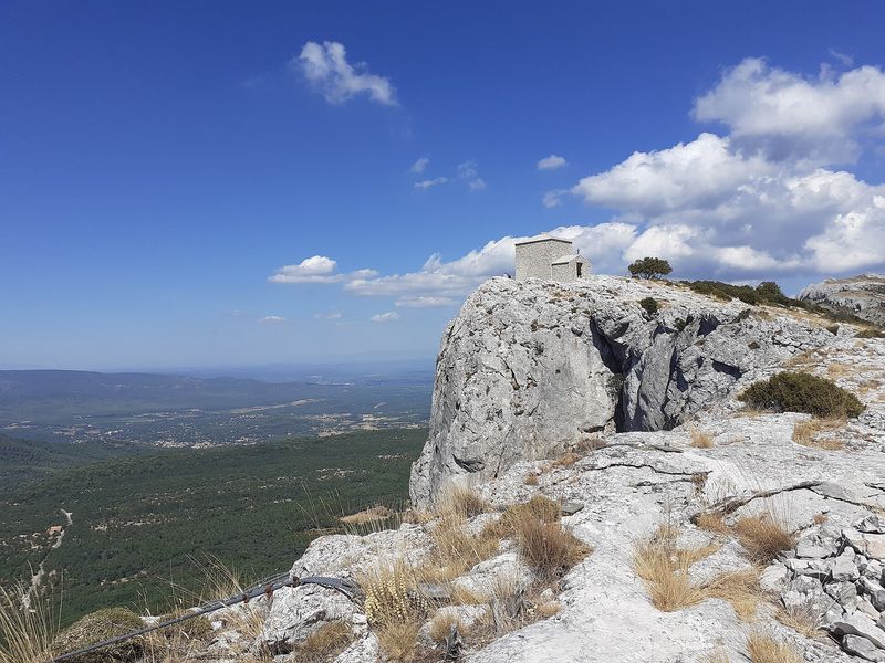
The two chapels trail
From Riboux to the col du Saint-Pilon, then along the ridge on the GR 98. A demanding 14.8 km loop of religious heritage and wide views.
- Distance
- 14.8 km
- Duration
- 5 h
- Elevation gain
- 627 m
- Difficulty
- Hard
- Type
- Loop
- Highest point
- 998 m
- Start
- Village car park, Riboux
Highlights
- The village of Riboux and its few dozen inhabitants
- The climb to the col du Saint-Pilon by the south slope
- Nearly four kilometres of ridge on the GR 98
Riboux has some forty inhabitants and a setting of untouched Provence at the foot of the south slope of the Sainte-Baume. This loop follows in the footsteps of the pilgrims of the southern massif, from the Sainte-Agathe chapel towards the Saint-Pilon chapel, with a long ridge traverse as the reward for the climb.
The route
From the village car park, the yellow waymarks lead in 700 m to the parking du Puits, then a small tarmac road reaches the Pé de la Colle in two kilometres, where it becomes a dirt track. After the houses, a yellow-marked path leaves the track and climbs, ever more steeply, to the col du Saint-Pilon.
You then take the GR 98 on the left, red and white, and follow the ridge line for 3.8 km, with the Saint-Pilon chapel and the limestone pavement on the horizon. At the crossroads of paths you leave the GR for the yellow path towards Cuges-les-Pins, then the blue path towards the jas de Frédéric for 1.3 km. The "Brancaille" track, marked in yellow, then brings you back to the village in 3.3 km.
Getting there
Car park in the centre of Riboux, 10 km from Cuges-les-Pins via the D8N, the D1 and the D602, 20 km from Gémenos or Signes.
Advice
A mountain route: avoid the ridge in rain, wind or fog. The route crosses the Var and the Bouches-du-Rhône; in summer, check the access conditions to the massifs published daily by both prefectures.