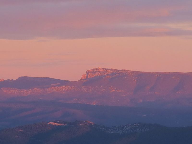
Sainte-Baume ridge and jas de Frédéric
A demanding 20.7 km loop from Cuges-les-Pins, by the jas de Sylvain, the pic de Bertagne and the ridge.
- Distance
- 20.7 km
- Duration
- 7 h
- Elevation gain
- 964 m
- Difficulty
- Hard
- Type
- Loop
- Highest point
- 1,031 m
- Start
- Église Saint-Antoine, Cuges-les-Pins
Highlights
- The traces of the old hill trades, sheepfold, cistern, resin pots
- The pic de Bertagne and the ridge on the GR 98
- The juniper kiln and the jas de Frédéric
A variant of the southern traverse, this loop shares its climb with the Grand Vallon loop but comes back down another slope, that of the old hill trades: an abandoned sheepfold, an old cistern, resin pots still nailed to the pines, a juniper kiln. Seven hours of walking for lovers of great panoramas and the landscapes of Pagnol's Provence.
The route
From the église Saint-Antoine in Cuges-les-Pins, you reach the chemin de Sainte-Madeleine then the track that crosses the Sainte-Madeleine and Dausserand valleys. The yellow-marked path climbs through the woods to post SB82, then to post SB83 where the stony path leads to the jas de Sylvain sheepfold. A balcony path, a rock slab and a steep pitch lead to the col de l'Aigle.
On the GR 98 you reach the open valley, then the 2.2 km out-and-back to the pic de Bertagne viewpoint. The ridge continues for 2.4 km to post SB88, where the yellow path descends, steep and slippery, towards Cuges. At post SB87, this time you take the blue path towards the juniper kiln, then the jas de Frédéric track, before finding post SB82 again and the outward path.
Getting there
Car park on the boulevard du Chanoine-Bonifay in Cuges-les-Pins, 10 km south-east of Gémenos via the D8N.
Advice
Steep and slippery descent after the ridge, to be taken carefully in wet weather. A route straddling the Var and the Bouches-du-Rhône: in summer, check the access conditions to the massifs of both prefectures before setting off.