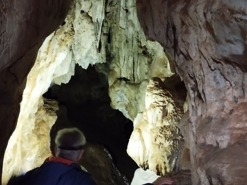
Our pick
- Easy
- 9.1 km
- 2 h 45
Huveaune springs loop
From the village to the travertine pools where the Huveaune rises, along a stretch of the chemin des Roys. An easy 9 km family loop.
Nans-les-Pins
From the Huveaune pools to the Sainte-Baume ridge: verified routes with GPX track, elevation profile and access tips.
From the village to the travertine pools where the Huveaune rises, along a stretch of the chemin des Roys. An easy 9 km family loop.
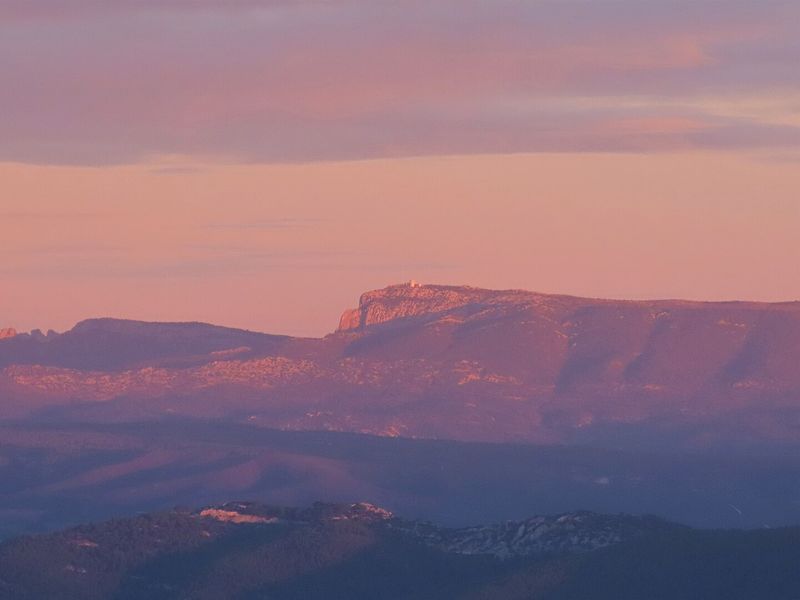
A demanding 10 km loop from Plan-d'Aups to the highest point of the Bouches-du-Rhône, at 1,042 m, by the col and the ridge.
A 17.5 km day's walk on the shaded slope, between the banks of the Huveaune, la Taurelle and the Peyruis sheepfold.
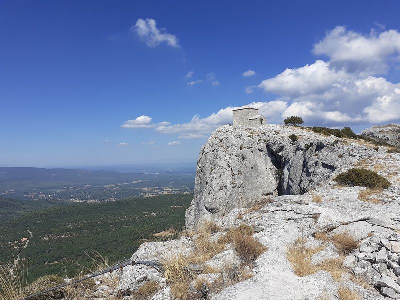
The classic of the massif: from the Hostellerie to the grotto of Mary Magdalene through the forest, then the ridge to the Saint-Pilon chapel.
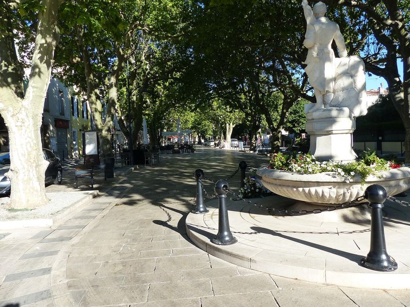
An easy 8.6 km loop through village lanes, along the banks of the Huveaune and between olive groves, on the traces of the chemin des Roys.
A 10.8 km loop joining the Sainte-Baume forest, the limestone ground of the plateau and the Miette oratory.
From Cuges-les-Pins, 23.8 km and 1,150 m of climb up the southern slope to the pic de Bertagne, then the ridge line.
A demanding 20.7 km loop from Cuges-les-Pins, by the jas de Sylvain, the pic de Bertagne and the ridge.
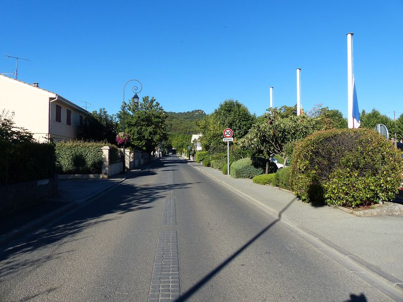
A 10 km loop in the tracks of the ice carters, between the Aurélien and Olympe hills and the Sainte-Baume cliff.
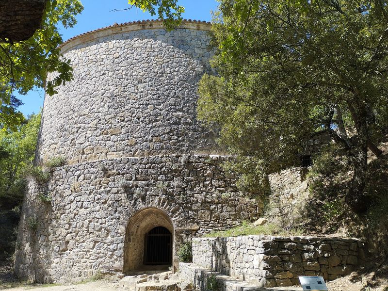
From Mazaugues, a 17.4 km loop through the state forest to the Pivaut ice house, returning across the Gaudin plain.
An easy 6.9 km loop from Plan-d'Aups, through the Brasque nature area, up to the pass below the baou de Bertagne.
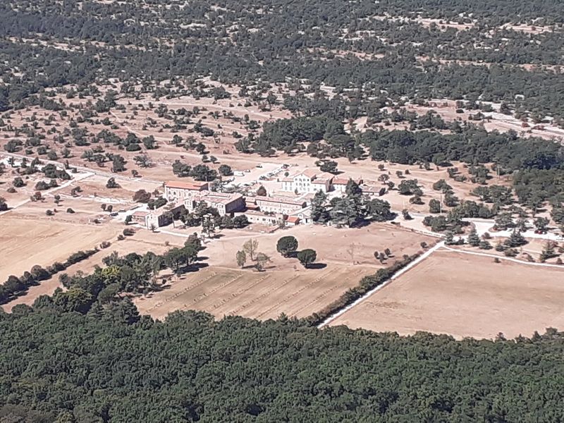
An easy 8.6 km loop at the foot of the cliff, in the best-preserved part of the Sainte-Baume forest, to walk in every season.
A long 22.8 km loop from les Encanaux, by the ice house, the springs of les Nayes and the Lare ridge.
From Riboux to the col du Saint-Pilon, then along the ridge on the GR 98. A demanding 14.8 km loop of religious heritage and wide views.