The col de Bertagne
An easy 6.9 km loop from Plan-d'Aups, through the Brasque nature area, up to the pass below the baou de Bertagne.
- Distance
- 6.9 km
- Duration
- 3 h
- Elevation gain
- 283 m
- Difficulty
- Easy
- Type
- Loop
- Highest point
- 897 m
- Start
- Parking « le Village », Plan-d'Aups-Sainte-Baume
Highlights
- The Brasque sensitive natural area and its old farm
- The col de Bertagne and the monument of the Excursionnistes marseillais
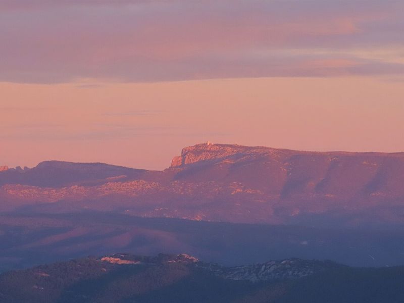
- The view over the Gémenos valleys, Marseille and the sea
The col de Bertagne is the most accessible balcony of the western ridge of the Sainte-Baume. The loop starts in the centre of Plan-d'Aups, crosses the Brasque valley, a former mining and farming site turned sensitive natural area, and reaches the pass that hikers from Marseille have made their own for more than a century. The return is in the shade of the Betton track.
The route
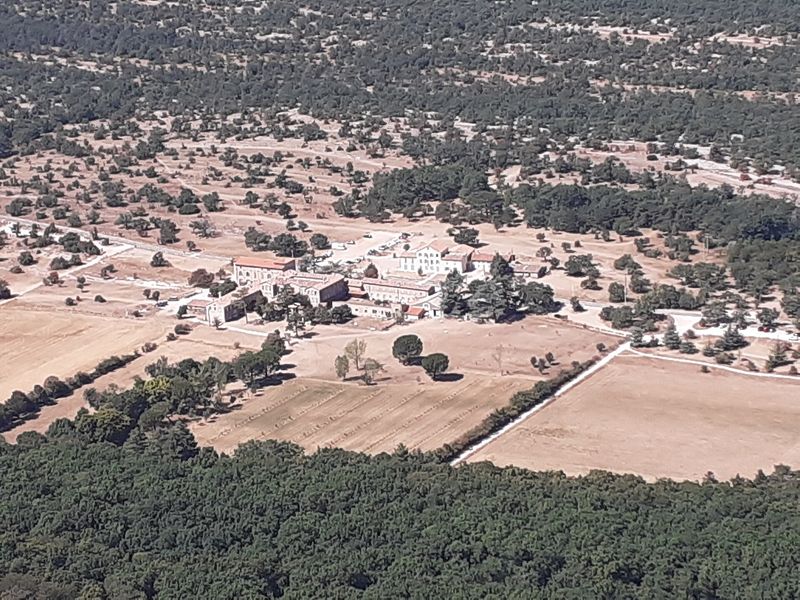
From the "le Village" car park, near the Maison du Pays, you cross the D2 to follow the rue du Pic-de-Bertagne to the square and the town hall, then the chemin de la Brasque, tarmacked as far as the entrance to the departmental sensitive natural area. The woodland path follows the GR de Pays Marseille-Provence 2013, marked red and yellow, passes the ruin of the old Brasque farm and continues on the track to a clearing.
A rutted then stony path then climbs, gently at first and then more steeply, to the col de Bertagne and the monument of the Excursionnistes marseillais. The view opens over the Gémenos valleys, the Marseille conurbation and the Mediterranean, beneath the baou de Bertagne. You come down by the tarmac track then the Betton forest track, marked in yellow, for nearly two kilometres, before a woodland path leads back to the first houses of the village.
Getting there
"Le Village" car park in the centre of Plan-d'Aups-Sainte-Baume, 14 km from Nans-les-Pins via the D80, 20 km from Gémenos via the D2 and 12 km from Saint-Zacharie via the D480.
Advice
Flock and guard dogs possible: give the flock a wide berth, stop if a dog approaches, talk to it calmly without waving your poles. From 21 June to 20 September, access to the massif is regulated according to the fire risk; check the daily map of the Var prefecture.