The ascent of the pic de Bertagne
A demanding 10 km loop from Plan-d'Aups to the highest point of the Bouches-du-Rhône, at 1,042 m, by the col and the ridge.
- Distance
- 10 km
- Duration
- 4 h
- Elevation gain
- 481 m
- Difficulty
- Hard
- Type
- Loop
- Highest point
- 1,031 m
- Start
- Parking « le Village », Plan-d'Aups-Sainte-Baume
Highlights
- The highest point of the Bouches-du-Rhône, 1,042 m
- The ridge walk on the GR 98 and the limestone pavement
- The panorama from the Mediterranean to the Alps
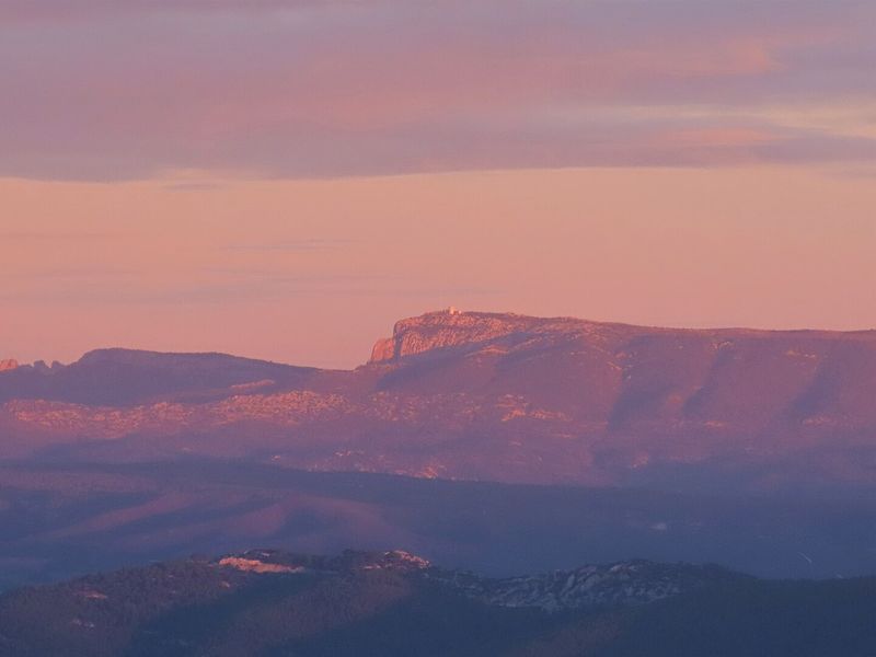
An emblematic hike of the Sainte-Baume, the ascent of the pic de Bertagne combines the history of Plan-d'Aups, the ridge and the forest. The summit, at 1,042 m, is the highest point of the Bouches-du-Rhône department; it carries a civil aviation radar station, but above all a panorama that runs from the sea to the Alps on a clear day.
The route
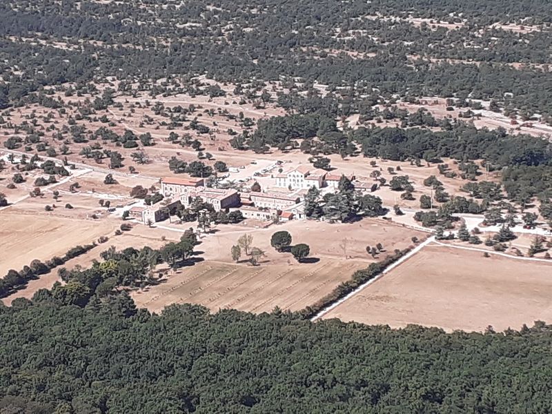
The beginning is shared with the col de Bertagne loop: from the "le Village" car park you cross Plan-d'Aups, follow the chemin de la Brasque to the sensitive natural area, pass the ruin of the old farm and climb, by a rutted then stony path, to the col de Bertagne and the monument of the Excursionnistes marseillais.
At the crossroads of the pass, a steep path climbs hard towards the ridge through rocky sections, then joins the tarmac track serving the radar. The out-and-back to the peak takes about twenty minutes on the yellow-marked path. You then set off towards the col du Saint-Pilon on the GR 98, across the limestone pavement, passing the radio relay. After the tarmac track, a steep path drops into the Betton valley; the track of the same name and then a woodland path lead back, via the Ubac forest track, to the first houses of the village.
Getting there
"Le Village" car park, near the Maison du Pays, in the centre of Plan-d'Aups-Sainte-Baume. 14 km from Nans-les-Pins via the D80, 20 km from Gémenos via the D2, 12 km from Saint-Zacharie via the D480.
Advice
A mountain route exposed to the weather, with two areas of slippery rock, between the pass and the ridge and then in the Betton valley: avoid in rain, wind or fog. Flock and guard dogs possible. In summer, access to the massif is regulated according to the fire risk: check the daily map of the Var prefecture and, for the south side, that of the Bouches-du-Rhône.