
The pic de Bertagne
The roof of the Bouches-du-Rhône, at 1,042 metres
The Sainte-Baume massif stretches 35 kilometres from east to west, and its ridge 13. Its highest point, the Joug de l'Aigle, reaches 1,148 metres in the Var; at the other end of the ridge, in the commune of Gémenos, the pic de Bertagne rises to 1,042 metres and is the summit of the Bouches-du-Rhône department.
The radar
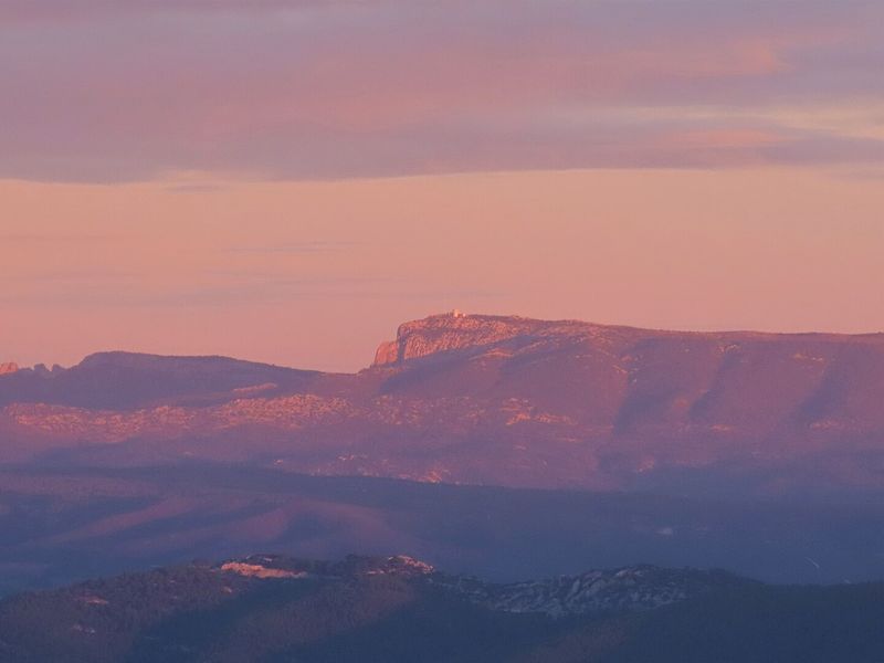
At the summit, a radar and radio station of the air navigation service, run from the Aix-en-Provence centre, watches over the sky of the south-east. A tarmac road climbs onto the ridge to about 1,020 metres, which explains the cyclists one sometimes meets so high up. The silhouette of the peak and its radar is visible from much of the south of the Bouches-du-Rhône and the Var.
The panorama
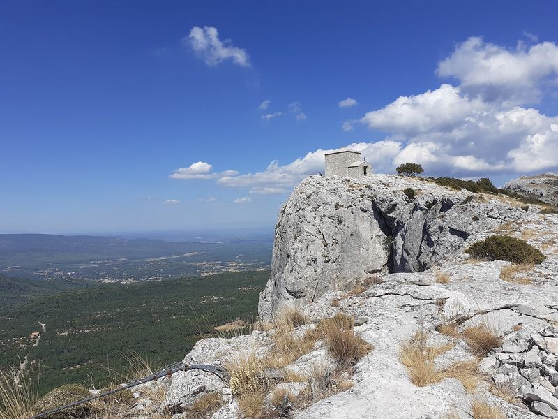
From the viewpoint, the view takes in the Calanques, Marseille, the Sainte-Victoire, the massifs of the Var and, on a clear day, the Alps. The classic ascent starts from Plan-d'Aups by the col de Bertagne and the monument of the Excursionnistes marseillais, returning through the Betton valley; hikers on the south side climb from Cuges-les-Pins by the jas de Sylvain. The ridge is exposed to the wind and to slippery rocky passages: avoid it in bad weather.
See also
- Type
- Natural site