The great Huveaune loop
A 17.5 km day's walk on the shaded slope, between the banks of the Huveaune, la Taurelle and the Peyruis sheepfold.
- Distance
- 17.5 km
- Duration
- 4 h 30
- Elevation gain
- 529 m
- Difficulty
- Hard
- Type
- Loop
- Highest point
- 552 m
- Start
- Parking de la Ferrage, Nans-les-Pins
Highlights
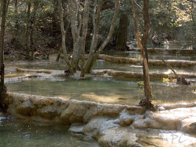
- Two and a half kilometres along the Huveaune
- The Taurelle forest-pasture site
- The pas de Peyruis and its information panels
The long version of the Huveaune walks: a loop demanding for its distance rather than its gradient, which follows the river at length, climbs the tracks of the north slope of the Sainte-Baume and returns by the pas de Peyruis. This is the hike for anyone who wants to understand the coastal river as a whole, from its legendary reputation to its landscapes of scrubland and forest.
The route
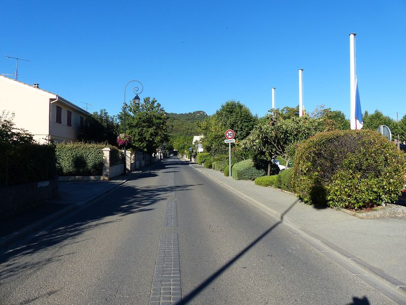
From the parking de la Ferrage, you cross the village to the Miséricorde chapel, then take the chemin du Bouaou, marked in yellow, which climbs leaving the "Vieux Nans" sign on the left. At the olive grove, a path leaves the track and climbs for two kilometres to a ford, at the entrance to the Taurelle forest-pasture site in the state forest.
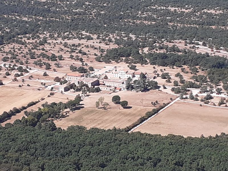
The main track then follows the Huveaune for two and a half kilometres, with three sets of waymarks: yellow, the red and white of the GR, the yellow and red of the GR de Pays. A path then climbs to a wide track and branches off towards the Peyruis sheepfold via Chambeyron, in yellow and blue, up to the departmental road. You follow the road to the pas de Peyruis, where panels present the site, then descend by the yellow-marked tracks towards Nans-les-Pins and the Miséricorde chapel. A start from the pas de Peyruis is also possible.
Getting there
Start from the parking de la Ferrage in the village centre. From Saint-Maximin, 12.5 km via the D560 and the D80; from Mazaugues, 19 km via the D1 and the D64. La Ferrage bus stop, line 92 Aubagne–Brignoles of the Zou network.
Advice
Several fords can become tricky after heavy rain. Carry water for the day, there is no supply point. From 21 June to 20 September, access to the forested massifs is regulated according to the fire risk: check the daily map of the Var prefecture.
See also