Huveaune springs loop
From the village to the travertine pools where the Huveaune rises, along a stretch of the chemin des Roys. An easy 9 km family loop.
- Distance
- 9.1 km
- Duration
- 2 h 45
- Elevation gain
- 227 m
- Difficulty
- Easy
- Type
- Loop
- Highest point
- 477 m
- Start
- Parking de la Ferrage, Nans-les-Pins
Highlights
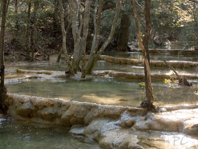
- The travertine pools of the upper Huveaune
- A stretch of the chemin des Roys, the old pilgrims' way
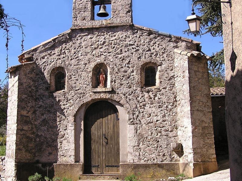
- The Miséricorde chapel and the old village
This is the emblematic hike of Nans-les-Pins. It starts in the village centre, follows for a while the old pilgrimage route to the Sainte-Baume, then climbs the valley where the Huveaune rises in a string of clear travertine basins. The site is a biological reserve: one of the most fragile places in the massif, and one of the most beautiful.
The route
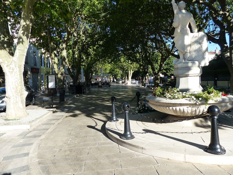
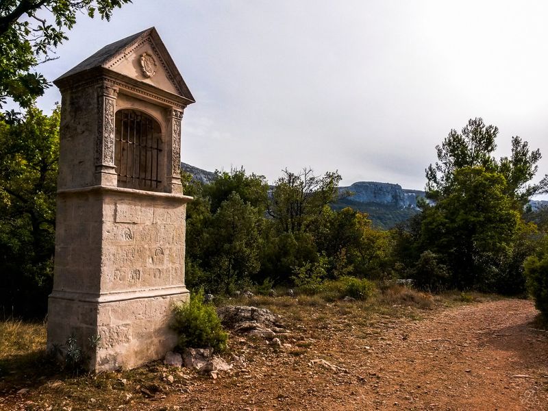
The walk is signposted "Sources de l'Huveaune" from the car park to the entrance of the reserve. You first cross the village along the cours Général-de-Gaulle and the Grand-Rue, past the Saint-Laurent church, up to the Miséricorde chapel. There begins the chemin de l'Orge, shared by the GR 9A and the yellow waymarks: it passes an oratory, runs alongside the old sanatorium buildings, then joins the chemin rural des Rois, heir to the chemin des Roys that pilgrims followed to the grotto.
After a stretch of forest track, a path plunges into the woods and reaches the sign marking the entrance to the biological reserve. The path then follows the river from above, over the travertine pools, with two interpretation panels on the Castelette valley and the formation of the tufa, then a viewpoint. A footbridge crosses the stream: a few metres upstream you can see the resurgence, the point where the Huveaune comes out of the ground. The return follows the other bank and then the tracks back to the village.
Getting there
Start from the parking de la Ferrage, in the centre of Nans-les-Pins, or from the parking des Sources de l'Huveaune. The village is served by line 92 of the Zou network (Aubagne–Brignoles), La Ferrage stop.
Advice
The bed of the Huveaune is fragile even when dry: swimming, mountain biking and dogs, even on a lead, are forbidden. Stay on the paths and the boardwalks. The pools are often dry in summer; spring and autumn, after rain, are the best seasons. From 21 June to 20 September, access to the massif is regulated according to the fire risk: check the daily access map of the Var prefecture before setting off.