The Pivaut ice house and the Gaudin
From Mazaugues, a 17.4 km loop through the state forest to the Pivaut ice house, returning across the Gaudin plain.
- Distance
- 17.4 km
- Duration
- 6 h
- Elevation gain
- 448 m
- Difficulty
- Hard
- Type
- Loop
- Highest point
- 736 m
- Start
- School car park, Mazaugues
Highlights
- The restored Pivaut ice house and its interpretation trail
- The Mazaugues state forest
- The views over the Gaudin plain
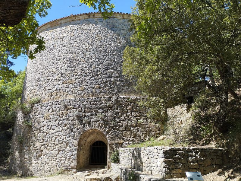
Mazaugues was the ice capital of Provence. Its ice houses, huge stone wells where the ice from the freezing basins was piled up in winter, supplied Toulon and Marseille until artificial ice arrived. The Pivaut ice house, the most imposing, has been restored by the Var department and can be visited along an interpretation trail. This loop climbs to it through the forest and returns through the Gaudin plain.
The route
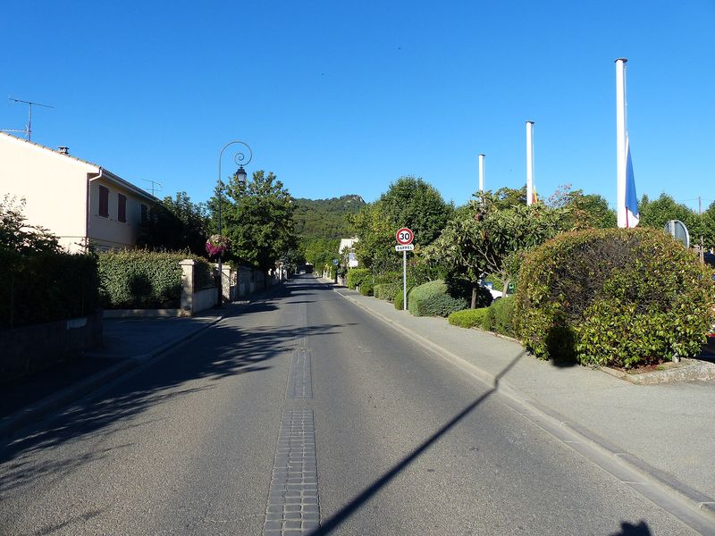
From the school car park, you cross Mazaugues along the avenue de la République, the place Gabriel-Péri and the place de la Mairie, then follow the D64 towards Plan-d'Aups for a kilometre, with care. At the Grand Jas post, the chemin Saint-Victor then the "La Venelle" track climb for more than four kilometres through the state forest, in red waymarks.
After the MZS19 cistern and the Clos de l'Héritière crossroads, a path descends to the D95. At the Gaudin post you follow the road for 140 m then the themed trail of the Pivaut ice house, which you visit before returning to the post. A wide stony track then descends towards the road and the Escaillon sud car park, then a track, the solar farm and the crossing of the Caramy lead back to the GR 99 and Mazaugues.
Getting there
School car park, in the centre of Mazaugues, 15.4 km from Brignoles via the DN7, the D5 and the D95.
Advice
Two stretches run along the road: take care. A ford over the Caramy may be in water depending on the season. Flock and guard dogs possible. From 21 June to 20 September, access to the massif is regulated according to the fire risk; check the daily map of the Var prefecture.