The Escaillon and the ice road
A 10 km loop in the tracks of the ice carters, between the Aurélien and Olympe hills and the Sainte-Baume cliff.
- Distance
- 10.1 km
- Duration
- 3 h
- Elevation gain
- 340 m
- Difficulty
- Moderate
- Type
- Loop
- Highest point
- 673 m
- Start
- Parking de la Ferrage, Nans-les-Pins
Highlights
- The Escaillon plateau and its viewpoints
- An old road of the ice trade
- The farmland of the Nans plain on the way back
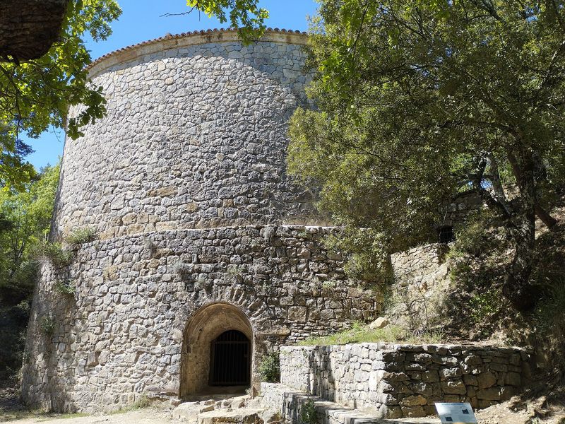
Before electricity, the Sainte-Baume supplied Marseille and Toulon with ice. Water froze in basins in winter, was stored in great stone ice houses and carried down to the towns by night. This loop follows one of the roads the carters used, climbs the Escaillon woods and comes back through the Nans plain.
The route
From the parking de la Ferrage, you follow the Plan-d'Aups road for a moment towards the edge of the village, then take on the left the "Circulaire de l'Escaillon et chemin de la glace" circuit, marked in green. The path enters the woods, joins the Foux track and zigzags up the Escaillon woods to the plateau. The climb gradually opens the view over the Aurélien and Olympe hills, with the Sainte-Victoire in the distance.
On the plateau you pass a cistern, then follow the waymarks for a kilometre and a half before turning onto a track that descends for nearly three kilometres, facing the great rock wall of the Sainte-Baume. The "Barnum" forest track comes out on a small road that crosses the farmland of Nans to the route du Cauron, then to the media library and the car park.
Getting there
Start from the parking de la Ferrage. From Saint-Maximin, 12.5 km via the D560 and the D80; from Aubagne, 26 km via the D96 and the D560. La Ferrage bus stop, Zou network.
Advice
A flock and its guard dogs may be on the route: give the flock a wide berth, stop if a dog approaches, do not stare at it and talk to it calmly without waving your poles. From 21 June to 20 September, access to the massif is regulated according to the fire risk; check the daily map of the Var prefecture.