The tour de la Lare
A long 22.8 km loop from les Encanaux, by the ice house, the springs of les Nayes and the Lare ridge.
- Distance
- 22.8 km
- Duration
- 6 h 45
- Elevation gain
- 1,006 m
- Difficulty
- Hard
- Type
- Loop
- Highest point
- 740 m
- Start
- Parking des Encanaux, Auriol
Highlights
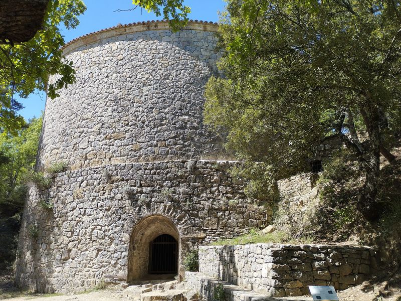
- The Encanaux ice house and the coolness of the river
- The Nayes springs and their canal
- The Lare ridge above the Coutronne and Infernets ravines
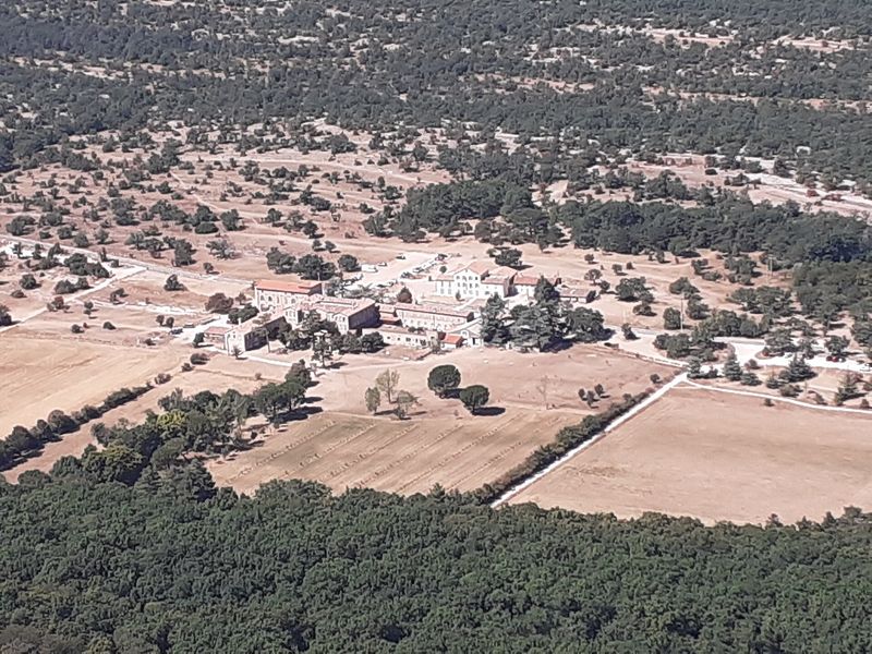
On the north-western flank of the massif, between Auriol and Saint-Zacharie, the Lare ridge faces the Sainte-Baume and the Sainte-Victoire. This demanding loop begins at the Encanaux ice house, follows the river, climbs through olive trees and terraces, visits the Nayes springs and ends along the long ridge, above the Coutronne, Infernets and Encanaux ravines.
The route
From the car park, you go down to the barrier then climb to the ice house by the blue-marked path, before reaching the Encanaux bridge. The blue path "Les Lagets par les Hélianthes" climbs for a kilometre, then a succession of tracks and paths, in blue then yellow waymarks towards Saint-Zacharie, crosses the Gastaude stream and climbs the little Grand Vallon path.
A second stage leads to the Nayes springs: a track towards the springs, a stony path, a concrete lane then a canal to follow to the springs. You set off again towards the pont d'Orgnon by the Sources track, then the Adret and Lare tracks, still in blue waymarks, climb the ridge. At the buried cistern, a yellow-marked track begins the long descent to the Encanaux.
Getting there
Parking des Encanaux, 4.3 km south-east of Auriol via the D560 and the D45A, 14 km from Aubagne. A start is also possible from the Nayes springs car park, in Saint-Zacharie.
Advice
Allow a full day and plenty of water: the loop exceeds 22 km and 1,000 m of climbing. Fires are forbidden in the forest in every season. In summer, check the access conditions to the forested massifs published daily by the Bouches-du-Rhône prefecture.