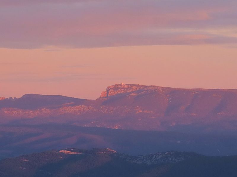
Sainte-Baume ridge and Grand Vallon
From Cuges-les-Pins, 23.8 km and 1,150 m of climb up the southern slope to the pic de Bertagne, then the ridge line.
- Distance
- 23.8 km
- Duration
- 6 h 30
- Elevation gain
- 1,152 m
- Difficulty
- Hard
- Type
- Loop
- Highest point
- 1,031 m
- Start
- Église Saint-Antoine, Cuges-les-Pins
Highlights
- The climb through the sunny scrubland of the south slope
- The jas de Sylvain, a restored sheepfold
- The pic de Bertagne and 2.4 km of ridge on the GR 98
The great southern traverse of the mountain. From the centre of Cuges-les-Pins, the climb is long through the scrubland of the south slope, pauses at the jas de Sylvain, a restored sheepfold, then steepens among the rocks up to the pic de Bertagne. The 360-degree view, from the Calanques to the Sainte-Victoire and the Alps, justifies the day.
The route
Facing the église Saint-Antoine, you go down the boulevard du Chanoine-Bonifay then the rue du Docteur-Gastinel, and a track joins the chemin de Sainte-Madeleine. The climb is by an unsurfaced track through the Sainte-Madeleine and Dausserand valleys, then by a yellow-marked path in the woods. After post SB82, the ascent continues towards the pic de Bertagne; at post SB83, a wide stony path leads to the jas de Sylvain sheepfold, then a balcony path reaches a rock slab and a steep pitch.
At the col de l'Aigle, post SB84, you follow the GR 98 to an open valley, then the 2.2 km out-and-back to the pic de Bertagne, skirting the radar by the viewpoint path. Back on the GR 98, you follow the ridge line for 2.4 km towards the col du Saint-Pilon. At post SB88, the yellow path descends steep and slippery towards Cuges-les-Pins; at post SB87, you rejoin the jas de Sylvain and then the outward path.
Getting there
Car park on the boulevard du Chanoine-Bonifay in Cuges-les-Pins, 10 km south-east of Gémenos via the D8N.
Advice
The descent towards Cuges from the ridge is steep and slippery, especially in wet weather: good shoes are essential. The route crosses the Var and the Bouches-du-Rhône; in summer, check the access conditions to the massifs published daily by both prefectures. Fires are forbidden in the forest in every season.