From the Huveaune to Mantelette
An easy 8.6 km loop through village lanes, along the banks of the Huveaune and between olive groves, on the traces of the chemin des Roys.
- Distance
- 8.6 km
- Duration
- 2 h 15
- Elevation gain
- 244 m
- Difficulty
- Easy
- Type
- Loop
- Highest point
- 518 m
- Start
- Parking de la Ferrage, Nans-les-Pins
Highlights
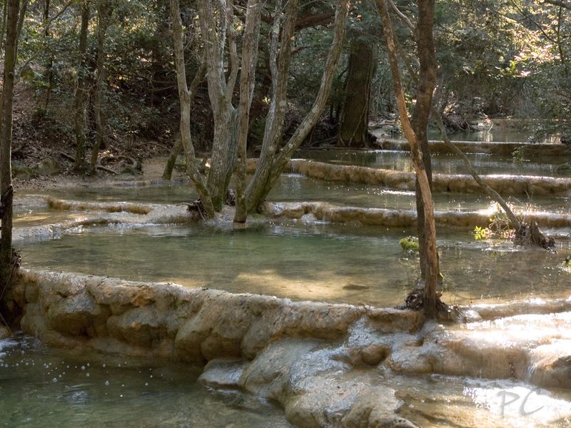
- The banks of the Huveaune on a forest track
- The olive groves and scrubland of Mantelette
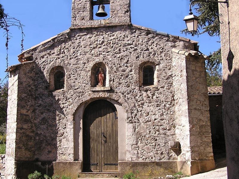
- The Miséricorde chapel at the start and finish
Shorter and gentler than the springs loop, this walk circles the Mantelette district and runs for a while along the Huveaune. It suits a first family outing or a late afternoon: two and a quarter hours of walking, without difficulty, between forest, olive groves and riverbank.
The route
From the parking de la Ferrage, you reach the cours Général-de-Gaulle then the Grand-Rue, which you follow past the Saint-Laurent church up to the Miséricorde chapel. The chemin de l'Orge, shared by the GR 9A and the yellow waymarks, then leaves the village, passes the former respiratory rehabilitation centre and skirts some stables.
At the Sermax works, you leave the chemin des Roys for the main track, used by the GR 9, which meets and then follows the Huveaune for two and a half kilometres. After the bridge, the "L'Huveaune" track leads to a ford. You then leave the GR for a yellow-marked path that crosses forest and olive groves, among rock roses and holm oaks, and returns in three kilometres to the Miséricorde chapel.
Getting there
Start from the parking de la Ferrage, in the centre of Nans-les-Pins. From Saint-Maximin, 12 km via the D560 then the D80; from Aubagne, 25 km via the D96 and the D560. La Ferrage bus stop, Zou network.
Advice
The ford can become tricky after heavy rain: adapt the outing to the conditions. From 21 June to 20 September, access to the forested massifs is regulated according to the fire risk; check the daily map published by the Var prefecture.